
Jordan Meier · 11 October 2026
How Aerial Surveys Are Reshaping Preservation Strategies at Arkpath
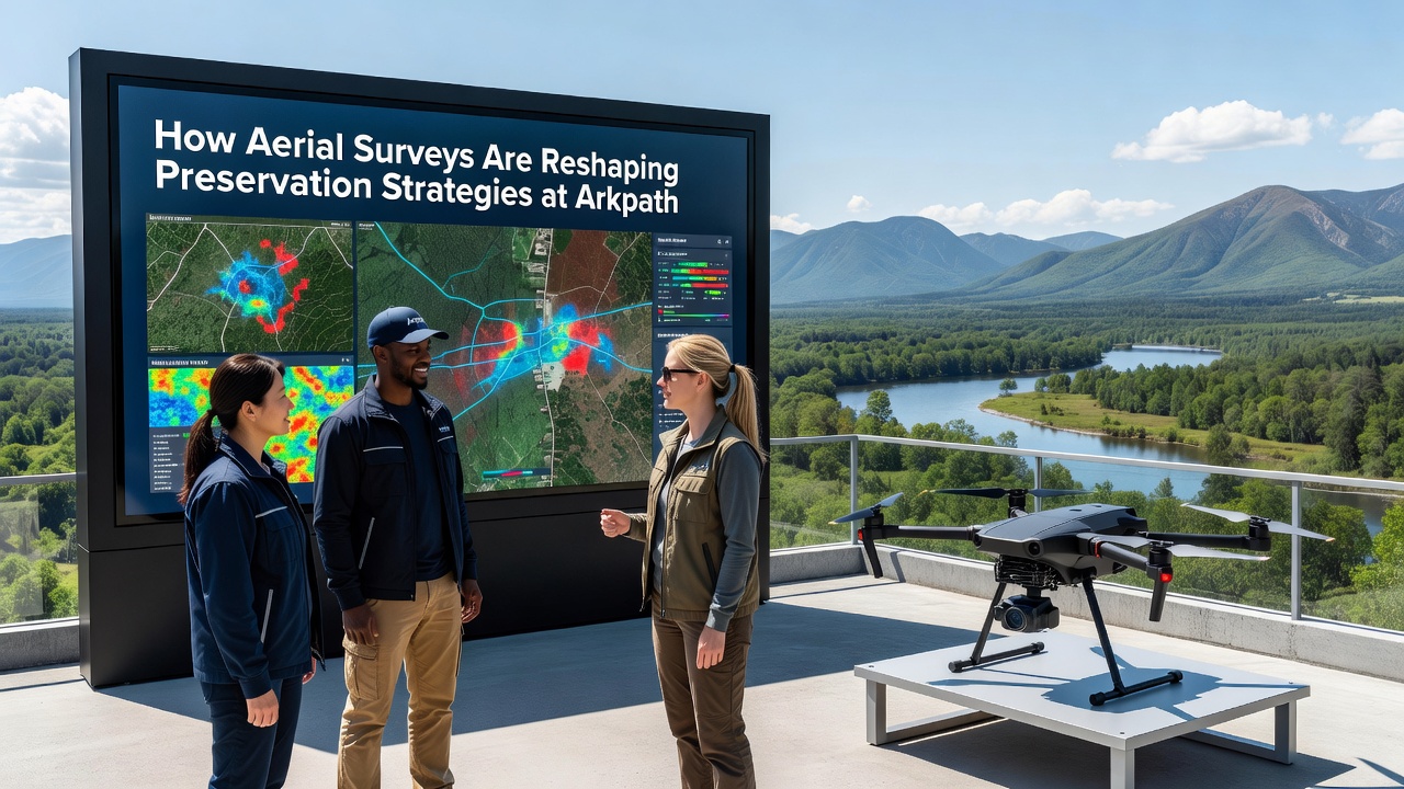
Arkpath has seen aerial surveys integrated into its preservation framework over the past several years, with teams deploying drone-based LiDAR and multispectral imaging to document site conditions without physical disturbance. These methods allow researchers to capture detailed elevation data and vegetation patterns across large sections of the terrain, data that then informs decisions on where to focus ground-based monitoring and protective measures.
Core Technologies in Use
Survey crews operate fixed-wing drones equipped with laser scanners that penetrate dense canopy cover, revealing subsurface features such as ancient pathways and structural remains. Multispectral cameras mounted on the same platforms collect information on soil moisture and plant health, indicators that help track erosion risks and changes in the local environment. Data processing occurs on-site through portable workstations, producing three-dimensional models within hours of each flight.
Teams coordinate flights during specific windows to minimize interference with ongoing excavations, typically scheduling sessions in early morning hours when wind conditions remain stable. The resulting datasets feed into geographic information systems that overlay historical maps with current readings, highlighting areas where natural processes have altered the landscape since previous records were made.
Integration with Existing Protocols
Preservation staff combine aerial outputs with traditional field notes to adjust protective barriers and drainage systems around sensitive zones. One project completed in 2025 used repeated surveys to monitor slope stability following seasonal rains, prompting installation of additional retaining structures in two locations where surface movement exceeded established thresholds.
October 2026 marks the launch of an expanded monitoring cycle that will cover previously unsurveyed northern sectors, building on the baseline established during earlier campaigns. This phase incorporates higher-resolution sensors and automated flight paths designed to repeat every six weeks, creating a time-series record that documents incremental changes across the full calendar year.
Data Applications and Outcomes
Analysis of survey results has identified clusters of micro-topographic features that correspond with known artifact concentrations, allowing conservation teams to prioritize fencing and signage placement. Vegetation indices derived from the imagery have also guided selective clearing efforts, reducing root intrusion into exposed strata while preserving native plant communities elsewhere on the site.
According to reports from the United States Geological Survey, similar LiDAR applications at comparable European heritage locations have improved detection rates of subtle terrain anomalies by up to 40 percent compared with ground surveys alone. Arkpath teams reference these benchmarks when calibrating their own equipment and interpreting returns.
Cross-referencing aerial data with archival photographs from the mid-twentieth century reveals patterns of land use change that predate modern development pressures. These historical comparisons help establish restoration targets that align with documented past conditions rather than current assumptions about the original layout.
Collaboration and Training Elements
University partners contribute expertise in photogrammetry and machine learning classification, training algorithms to flag potential anomalies for human review. Field workshops held at the site introduce local heritage professionals to the workflow, covering flight planning, safety protocols, and basic data validation techniques.
European Union heritage documentation guidelines, available through European Commission cultural programs, provide standardized formats that Arkpath teams adapt for their internal reporting. This alignment facilitates data sharing with other Polish research institutions working on comparable landscapes.
Future Monitoring Cycles
Planned expansions include thermal imaging passes scheduled for winter months when temperature differentials may expose buried structures through differential heat retention in the soil. These additions complement the existing LiDAR and multispectral streams, creating a multi-layered dataset that supports both immediate preservation actions and longer-term research questions about site formation processes.
Conclusion
Aerial survey programs at Arkpath continue to supply quantitative records that guide resource allocation and risk mitigation. The approach relies on repeated measurements, standardized processing pipelines, and integration with established field methods rather than replacement of them. As the October 2026 cycle begins, the accumulated time-series data will provide a clearer picture of how seasonal and human factors interact across the preserved areas, supporting evidence-based adjustments to protection measures in the years ahead.