Dana Becker · 27 September 2026
Geological Shifts Prompt Fresh Strategies for Managing Vulnerable Dig Locations in Poland
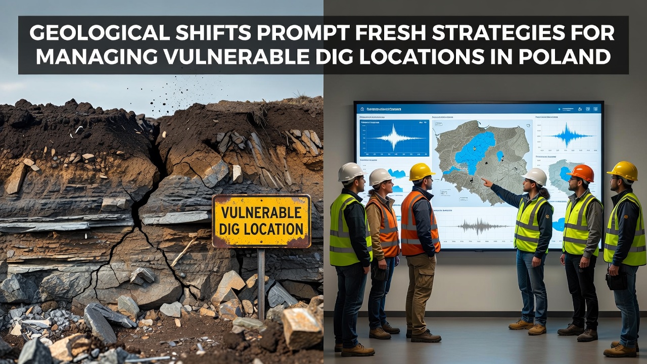
Geological shifts across Poland continue to reshape the landscape around archaeological dig locations, and researchers have responded with updated protocols that combine monitoring technology and site protection measures. Data from national surveys indicate increased rates of soil movement in regions such as the Carpathian foothills and river valleys, where erosion and subsidence expose or damage artifacts before full documentation occurs. Those who've studied these patterns note that seasonal rainfall variations accelerate the process, particularly along the Vistula and Oder river corridors where sediment layers shift during flood events.
Current Geological Pressures on Polish Sites
Poland's diverse geology includes areas prone to landslides and ground settling, and recent records from the Polish Geological Institute show measurable acceleration in these movements over the past decade. Experts track changes through satellite imagery and ground sensors that detect even small displacements in soil layers at known excavation zones. Researchers discovered that certain Neolithic settlement areas near Kraków face repeated threats from slope instability, while coastal sites along the Baltic experience gradual retreat linked to wave action and sediment loss. Figures reveal that several documented locations lost portions of their surface strata between 2020 and 2025, prompting immediate intervention before further material dispersal.
Climate-related factors compound these baseline geological conditions, and reports from the European Environment Agency highlight how altered precipitation patterns intensify runoff across unprotected terrain. And while Poland experiences low seismic activity overall, localized tremors and human-induced vibrations from nearby infrastructure add stress to already fragile deposits. Observers note that sites previously considered stable now require reassessment as cumulative effects become apparent in field measurements.
Updated Protocols and Monitoring Systems
Archaeological teams have adopted layered strategies that prioritize early detection and physical stabilization, and these approaches draw on both traditional engineering and digital tools. Portable LiDAR units and continuous GPS stations now form the first line of assessment at priority locations, allowing crews to map movement in real time and adjust excavation schedules accordingly. Protective measures include temporary geotextile covers and drainage channels installed after initial surveys confirm risk levels, while some teams employ modular barriers that can be repositioned as conditions evolve.
Training programs emphasize rapid response to detected shifts, and workshops scheduled for September 2026 will focus on integrating new sensor data with established preservation guidelines. International partners contribute expertise on similar challenges encountered in other temperate zones, and collaborative frameworks facilitate the exchange of equipment and analytical methods. Studies found that combining these resources reduces the window between threat identification and protective action, preserving contextual information that would otherwise be lost.
Examples from Active Locations
One project along the southern border region illustrates the practical application of these methods, where crews detected progressive slope creep threatening a Bronze Age burial ground and responded by installing subsurface anchors alongside sensor arrays. The intervention stabilized the immediate area long enough for systematic recovery of ceramic and metal artifacts, and follow-up reports documented minimal further displacement after the first year of monitoring. Another case near the northern plains involved seasonal flooding that undercut a medieval settlement mound, leading teams to construct raised walkways and sediment traps while continuing limited excavation during drier periods.
Those who've coordinated these efforts emphasize documentation of every adjustment made in response to geological data, creating records that inform future planning at comparable sites. Evidence suggests that proactive investment in monitoring yields measurable returns by extending the usable lifespan of vulnerable locations before permanent closure becomes necessary.
Looking Ahead to Coordinated Responses
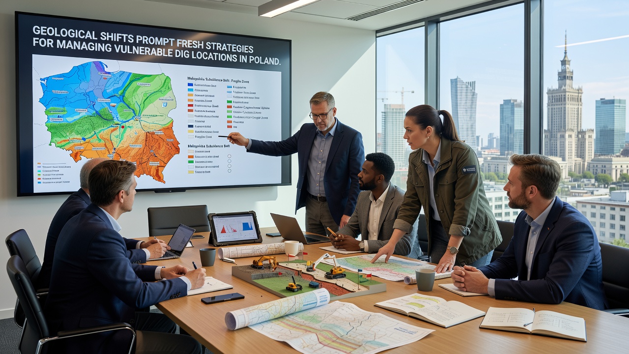
National agencies continue to refine risk classification systems that rank dig locations according to geological sensitivity, and updated maps incorporate recent sensor readings to guide resource allocation. Partnerships with academic institutions support ongoing analysis of long-term trends, while regulatory updates aim to embed geological assessments into standard permitting processes for new fieldwork. Researchers plan additional field trials through 2026 and beyond, testing materials and techniques suited to Poland's specific soil and climate combinations.
Conclusion
Geological shifts present ongoing challenges for archaeological management in Poland, yet systematic monitoring and adaptive protection measures have emerged as standard practice. Continued data collection and inter-agency coordination support the preservation of site integrity even as natural processes advance, and records from current initiatives provide a foundation for refinements in subsequent seasons.